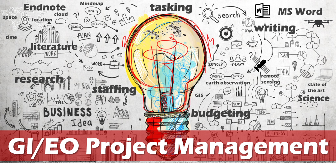


Diese Web-Plattform begleitet die Lehrveranstaltung GWB.013 "Einführung in das wissenschaftliche Arbeiten" von Hermann Klug. Sie fasst Standards zusammen, die in vielen Lehrveranstaltungen der Ausbildung zur GW-Lehrperson im BSc und MSc Studium gültig sind. Der Kurs ist aus Urheberrechtsgründen nur für Teilnehmende der Lehrveranstaltungen zugänglich. Bitte wenden Sie sich diesbezüglich an Hermann.Klug@plus.ac.at.

This course is designed to help Master's and PhD students master advanced scientific writing skills. Its primary aim is to support students in preparing high-quality scientific papers by developing structured, effective writing and formatting techniques. A key focus is placed on leveraging Microsoft Word functionalities for academic writing, as well as on strategies for searching, analysing, and working with scientific literature. Students will receive practical guidance on setting up an efficient writing environment, including tips and tricks for integrating Microsoft Word with EndNote 21 to streamline referencing and citation management.

This Integrated Project (IP) is an Interdisciplinary, Integrated, and Interactive (I3) project to be realised in the domain of Geoinformatics (GIS) and Earth Observation (EO). It is based on a complete project cycle to be realised by one student. In exceptional cases two students are allowed to work on one project but independent objectives. The project should focus on applied research with a strong emphasis on practical implementation of a spatio-temporal subject. Students are asked to choose their topics, to analyse their challenges/problems, to frame their objectives, and to define hypothesis and research questions. This includes the framing of user groups and/or including an assessment of customer and/or target group requirements. All learning objetives, competencies, course expectations, and deliverables will be explained in a guideline provided in the beginning of the course.
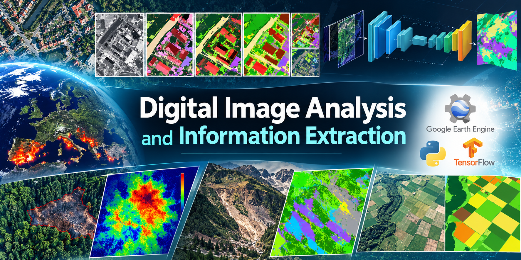
This course is an introductory course for Earth observation image analysis and information extraction. The course will expose students to fundamental concepts in image processing and information extraction. This encompasses image acquisition, preprocessing steps like georeferencing and orthorectification, image calibration, understanding spectral analysis and image interpretation from different band combinations, and thematic information generation using classification and information extraction approaches. In addition, students will be exposed to modern cloud computing resources relevant to accessing earth observation images from many sensors and data providers, writing custom image processing workflows and performing processing tasks on an easily available platform.
| The assessment will be based on assignments and project work at the end of each chapter. There will also be a final exam at the end of the course. The final exam will cover at least 30% of the total assessment. |